For years now the family and I would go out east for vacation in either July or August. Between us, we would have a minimum of 3 cameras, one each plus my spare. As a typical family vacation would go, we would stop wherever we wanted and grab a few images of the sights and surroundings. Thanks, in part to Geocaching, as a not-so-typical family vacation, we would avoid the touristy areas and take side roads, dirt roads and backroads to explore things and places you would not see in a travel brochure.
On returning home we would end up with anywhere between one thousand and a couple of thousand photos to sort through. Me being me, at first we would document everywhere we stopped and took photos in a small notebook. Then I would sit at the computer and cross-reference the image date and number to the entry log in the notebook. Very time-consuming to say the least! Often we would forget to enter a log or a few logs as we were simply passing through. Then came the chore of figuring out where those images were taken. Load up Google Maps and try to figure it out. As years went on we grew lazy and no longer bothered to take notes at all. I would simply retrace our steps on google maps enter the data into the metadata of the image. I could never justify buying a dedicated gps for my camera. Knowing the exact location an image was taken is just a personal thing with me. It is by no means an essential item to have in your photographic arsenal.
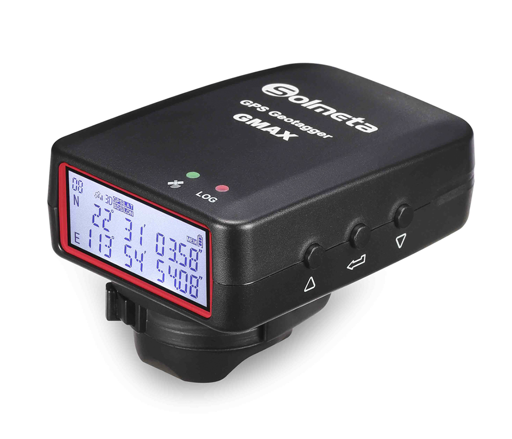
Since the pandemic travel has been restricted or non-existent so we have not ventured anywhere for vacation other than local, short day trips. Seeing as I was off work through most of the pandemic we were able to get plenty of work done around the house so editing images from our last east coast vacation was not a priority. I had not really looked at the images we took until just a few months ago. The same routine – trace location on google maps and geotag the image. Now, maybe because I am getting older, there were many images I remember taking but not the exact location. Even using google maps to look at previous locations and jumping ahead a few images to find a known location, I still had many between those two points in time that I could not trace. So, I finally broke down and purchased a GPS geotagger for the camera. I did not go with the Canon model as the price is fairly steep. Instead, I went with a Solmeta GMAX-EOS .
I have yet to use it but I will try ad give a review of it after having it out in the field a few times.
